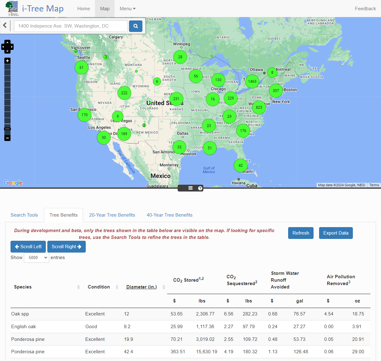
Map

This is a demonstration site. Additional features are dependent on future funding. Please, contact info@itreetools.org if interested in helping this project.

Mapping Dashboard

Using MyTree combined with MyTreeMap provides users with a simple inventory and tracking tool for their tree plantings. Volunteer group coordination, reporting, and future monitoring are the goals of tying this map back to the trees input through MyTree. This tool showcases integration of i-Tree's tree benefits estimates with large scale planting projects.

Use Ctrl + click to select multiple options.
During development and beta, only the trees shown in the table below are visible on the map. If looking for specific trees, use the Search Tools to refine the trees in the table.
Longitude Latitude Species ID Date Group Planting Type Species Condition Diameter (in.) CO2 Stored1,2 CO2
Sequestered2
Storm Water
Runoff
Avoided
Air Pollution
Removed3
Avoided
Energy
Emissions4
Energy
Usage
Impacts5
$ lbs $ lbs $ gal $ oz $ lbs $